Northeast Indiana Land Surveying
-

For Homeowners
-

For Professionals
Real Estate Agents | Construction Builders | Developers | Agricultural Farm
ALTA/NSPS | Land Planning for Residential Housing Additions and Commercial Building
-

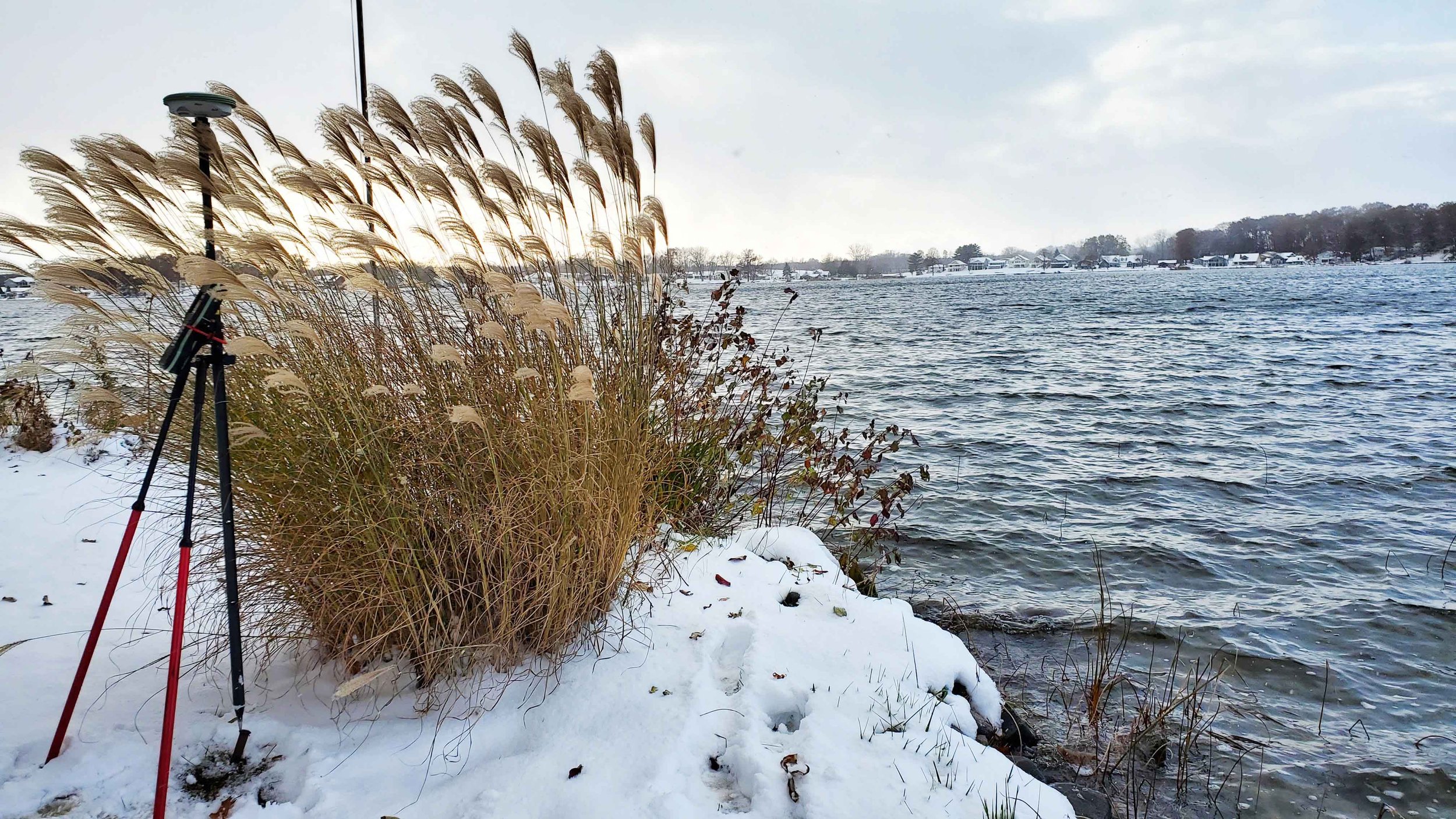
Surveying Northeast Indiana
Angola, Butler, Fort Wayne, Fremont, Garrett, Grabill, Hamilton, Huntertown, Kendallville, Laotto, Leo, New Haven, Spencerville, St. Joe, Waterloo and Woodburn
FAQs
-
- When property is to be sold, purchased or mortgaged
- When property is divided into parcels for sale or development
- When property improvements are planned or to be developed
- When government regulations require a survey and map of your property
- When the location of property boundary is uncertain
- When property trespass or encroachment is evident or suspected. -
We are happy to help you determine which type of survey you need.
There are typically seven types of surveys:
ALTA/NSPS - comprehensive land survey usually for title company / mortgage lender
Boundary - to located property corners and boundary lines
Construction - survey of structures including horizontal and vertical grading and staking
Location - zoning permits
Site Planning - combines boundary and topographic survey for building
Subdivision or Partition - to divide parcels or land; may include streets and drainage
Topographic - surveying of natural features as well as man-made
-
The location of boundary lines is an important piece of information to have before you build on your property. Before you build a fence, driveway or structural addition to your home, you want to make sure it will be built on your property, not your neighbor's. A boundary certification will tell you whether the legal description of your property is accurate. Many times homeowners and their neighbors are operating under the wrong assumption about the placement of the boundary line between your properties.
-
The cost of a survey is dependent upon the type of survey required, the location of the survey and the time frame requested. We would be happy to provide an estimate of your project needs.
Most people are used to seeing surveyors out “in the field”, but much of the time spent on a survey is dedicated to document research, data processing & analysis, survey plat preparation and preparing the Professional Surveyor’s report. On a typical residential lot survey, the time in the field surveying may be three to four hours, whereas the office time may be ten to twelve hours behind the scenes.
-
Depending on the size of your property, your land survey could take 2-4 hours at your property, but 1-2 weeks to receive your official survey.
-
The purpose of your survey
Any survey documents or information related to the property.
The history of ownership if known or available.
-
Angie has worked in Land Surveying since 2003 under a few different surveyors in the area.
-
We are located in DeKalb County at 102 N. Main Street, Auburn Indiana and travel frequently to the surrounding counties of Allen, Steuben, Noble and LaGrange and the communities of Angola, Butler, Fort Wayne, Fremont, Garrett, Grabill, Hamilton, Huntertown, Kendallville, Laotto, Leo, New Haven, Spencerville, St. Joe, Waterloo and Woodburn.
About
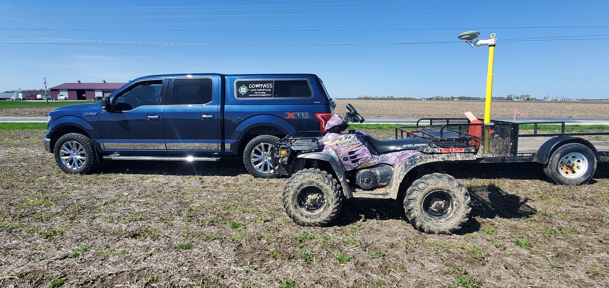
Compass Land Surveying was established in 2019 by Angela D. Wallace, P.S. to put her personal touch into Land Surveying by building relationships with our clients. Compass Land Surveying offers services only in Indiana, mostly in the Northeastern region, including the counties of Allen, DeKalb, LaGrange, Noble and Steuben.
Angela Wallace
Angie is an Indiana Purdue Fort Wayne (IPFW) graduate with a Bachelor of Science in Construction Engineering Technology and an Associate Degree in Civil Engineering Technology. Angie has held a Professional Land Surveyor's License in Indiana since 2012 and is a member of Indiana Society of Professional Land Surveyors.